Showing posts with label tramping. Show all posts

Tuesday, April 26, 2011

Olivine Range

The Olivine Range trip was our end of summer extravagance. An exercise in expensive simplicity travelling to the other end of the country to immerse ourselves in some wilderness for a time.

We walked from just above Monkey Puzzle gorge on the Cascade road up a great old route up the Martyr Spur (look for the one and only track marker where you would expect it on the road). Martyr Spur is part of the ultramific belt that runs through this part of South Westland abutting the Alpine fault. The red rocks provide a startling contrast to the tussock tops.

The tarns on the tops were a picturesque place to camp with Red Mountain on the other side of the valley.

The next day we wandered up the shapely ramp to the crazy fastness of Staircase Mountain. The big surprise being the vast formations of worn bedrock as we descended to the south. A legacy of the glaciers.

The old fella was watching us, Tititea, peak of glistening white...

Our rough plan was to head south along the ridge as far as time allowed, with escapes over the ultramific belt to the Cascade river when required. The next chunk of ridge was our first obstacle and we sidled low.

Before traversing the ironic (for Wellingtonians venturing south) Tararua peak, and camping in the high basin just to its east. The colourful view from our tent door presented rainbows, sun shafts and sun sets over the Arawhata and Castor & Pollux

We had sort of contemplated Joe Peak as our turn-around point, and a worthy goal it would have been, but we were thwarted the next day by the steep ridge following Bald Mountain. A steep gap presented a possible desperate route which all things considered we declined. We headed out over the ultramific Mt Raddle...

A surprising foggy moonscape where rocks like graters lurked at the slightest wobble.

Descending to near bushline we were getting desperate for a campsite when we found a little platform which just needed a little clearing, the girls (and I) got to work and it proved a worthy spot.

All that remained was a wander down to the Cascade. We tried an orienteers route, linking up the two little creeks to Woodhen pond and it goes all right, but apparently the better route hugs the river somewhere. Suffice to say the Cascade doesn't give in easily and isn't really designed for trampers, which is all good in my books...a few pics...

A great area for a bit of off track tramping in South Westland!

Tuesday, December 1, 2009

Mt Wainui and the river at the back of yonder

Well I've got mixed feelings about this mission, you see it was a long time coming and seldom have I failed so bad in completing a mission. The idea was great, a traverse of the Whakatikei river from source to sea. But it wasn't to be, among other things my ankle wasn't going to let it happen. Bodies! One day primo the next day poked. Mortality sucks. On the positive side though it was a great afternoon out with a couple of mates; Mick and Ramash, in a neat little part of our world. Here's to that.

The Whakatikei is a rugged part of the Akatarawa range that drains eventually into the Hutt river. It is targeted eventually to be the next dam site for Wellington water consumers. But at the moment it is just a beautiful mostly prisitine hidden gem on the edge of our capital city.


View Larger Map

The headwaters of the Whakatikei is the east tending stream in the middle of this (old) photo.

The first task was to get to Paekak, and in true carbon conscious fashion we took the train. Note to self, "trains run on time". Reunited we headed out through Paekak cutting through some farmland on QE 2 park (or maybe not - see land boundary below Mick) to McKays crossing, and then up through the old Whareroa farm which is being actively developed with walking tracks as part of a green corridor from the sea to the hills.

There were no tracks where we were going however. Straight up the hill following a fenceline watching the ocean and Kapiti island grow bigger behind us.

Wainui is capped by a couple of hundred metres of bush and we soon ploughed into this following a rough, but appreciated route, marked by a local DOC ranger, at 722 metres Wainui peers down at a fault line running along its western foot known more commonly as transmission gully, but in the mist we couldn't see much at all.

For us there was only time for some preventative foot action.

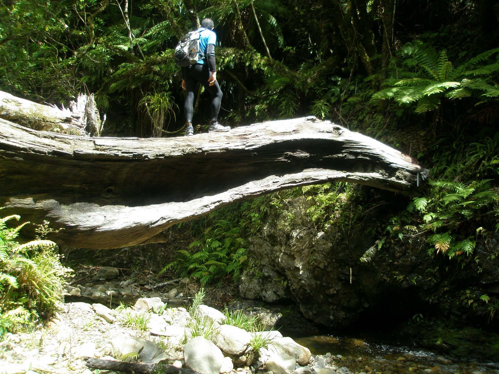
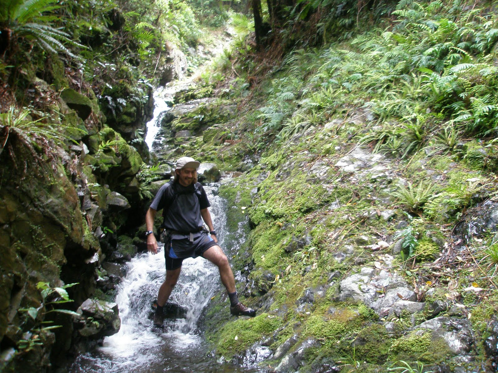
And them it was down into the creek, and what a little beauty it is, slimy rocks quickly give way to bigger grippier bouders or level riverbed to gallop down, and the trees are big, rata, rimu and the other podocarps tower all around when the lower canopy parts from time to time. Or they fall and provide obstacles or features in the gorge.

We had the occasional swim or scramble. It wasn't warm out of the sun, but even in the deepest confines of the valley the sun was never far away.

Out eventually, and it was power lines that signalled our return to civilisation, or not. We were at least out of the gorge, but we were still in the middle of nowhere. It made me reflect that in New Zealand some of our best adventures are in "pylon country" where electricity infrastructure required the battering out of roads across hostile terrain. I'm thinking the Borland Road, Dennistoun to Lyall on the Buller, McKenzie pass down south. Pylons can be beautiful with history and nostalgia on their side.

Being in the middle of nowhere we walked around the corner and bumped into "Orange Hut". The mythical heart of trail bike and 4wd drive culture around Wellington. True to its name it is painted Tui colours (as in the beer) and smells of man. Outback man. A concrete silo with bunks its austerity is only just resistant to the the type of graffiti and abuse that huts within reach of petrol powered transportation are subjected to. Mores the pity, it is a good spot.

It was here that we bailed, turning our backs of the further river journey opportuned and heading home with our tails between our legs, following the pylons back to Whareroa and down the hill. A good mission left incomplete for another time.

Sunday, September 20, 2009

A day in the hills with Greg.

A week or so ago on a Saturday night I realised that Sunday was looking good for a walk. My call found Greg Thurlow in a spa with a few drinks under his belt, but he was easy to convince. 7.30.

The pick-up went smoothly, though the parcel was looking a little ragged around the edges. Up over the Rimutakas again and the discussion was inevitably on the weather. The ragged Tararua veteran thought it looked windy. The hopeful Tararua newbie thought it would ease off. We were out of the Holdsworth Road end speedily, jogging to get to the tops as quickly as possible. Runners get to Powell Hut in under 60 minutes in the annual Holdsworth Jumbo mountain run and while we weren't quite on that pace with a bit of gear and food on our backs it was solid.

Greg emerging on the Holdsworth Tops - Totara Flats of the Waiohine beyond.

We zoomed in and out of Powell, the tops were too enticing. Holdsworth summit passed, and the pleasant ridge to Jumbo. After this it was new territory for me. Angle Knob, then dropping down until a bizarre cluster of rocks on the ridge signalled the turn-off to McGregor Bivvy. Its not too far down to McGregor and it is a wicked spot. High on a ridge it is in the ampitheatre of the Tararuas. From the left the main range comes rolling up with the massif (excuse me for using a aountaineers term while bush-walking) of Crawford and the Carkeek and Dorset ridges lapping down off the northern Tararuas. The best perspective though is the southern face (there goes that mountaineers language again) of Girdlestone.

And a few more photos of the vicinity:

Back up onto the ridge from the Biv, and over McGregor proper. One of the 15 or so Tararua peaks to top 1500metres. The most difficult part of our little expedition was to come though, the infamous Broken Axe Pinnacles.

Much to my mother-in-laws delight we chose the sidle route, which was still slippery enough. She was only delighted because she had taken the high route a couple of years ago. Made of sterner stuff those old timers! After this point the travel became easier again, if not a little up and down through the Kings. Mitre was showing off its western flank and the nice little waterfalls of the South Mitre stream and the slowly rising ridge of Girdlestone is very elegant

It wasn't long before Girdlestone, then Brockett and Mitre succumbedthis time to our increasingly weary feet. It was a pleasant time to be up there in the early evening as the wind died away (and the Tararua newb won the weather forecasting debate;-)). The view back along the range shows some nice country covered.

All that remained was a jog down to Mitre Flats hut then a wander back over, into and down the Atiwhakatu. A great day out in the Tararuas!

Monday, August 3, 2009

Silverpeaks revisited.

As a kid growing up in Waitati I always longed to head into the Silverpeaks which I knew existed somewhere up behind the old shell station on the main road. We glimpsed them everytime we went over the Kilmog. I always tried to see "the gap". A prominent feature on the ridgeline above the Waikouaiti river. Later the first time I walked through the gap, was with Ben Powell, we must have been about 16. Up gap ridge and down bashing through the tussock to ABC cave, then the old jubilee hut. I visited this hut many times during my teens, so now they all blur into one. It was everything a hut should be. Shady, old and full of history. You could smell the latter growing on the mattresses.

And there were only a few rats, it wasn't infested like the notorious yellow hut, or the ancient possum hut. Their footsteps running and jumping in the night still exist in my restless dreams, or when I am tossing or turning in a hut full of wood smoke, like last week in the Ahuriri. I remember I went through a stage of carrying an old camp oven around tramping, and the old fireplace at Jubilee was the scene of at least one successful roast dinner. It wasn't often we found other people in there. Once we bumped into Bronwyn Strang, sister of Jim Strang who I was acquainted with only through Dad's copy of "Jannu: Wall of Shadows" my favourite mountaineering book growing up.

The Silverpeaks perhaps isn't for the faint hearted, on the only other time Penny and I have been in there together we found a tent washed down the creek. Then in the hut book, there were pleas for help from a lone traveller who had failed twice to find her way out of the deceptive ridge and valley systems. Just this May eight people were airlifted outin what sounds suspiciously like a University tramping club trip, while in the past there have been fatalities.Though I get the sense some of this aura is protected by the local powers that be, as in key places the track is not well-marked and user friendly routes have not been developed. In short the whole place is exactly like it was probably 50 years ago...fine by me, but expect people to get into trouble when this is the only tramping location on Dunedins doorstep!

We headed in from Double Hill Road, it was only intended to be a short walk, but as we sat down at the old Green Hut site and I bashed around looking fruitlessly for water, Penny got a call on her cellphone that our planned engagement was cancelled and we were free to roam. Up past Pulpit Rock and the painted forest sat there, a plane of green with the Maniototo skies behind.

Curling around the Silverpeak trig we forged through snow to the top of the Devils staircase. the new Jubilee Hit could be seen down valley on a high terrace, which I remember ploughing through the tussock of en-route to watch a falcon at its nest. The old hut satin the shade at the crook of the valley.

The gorse is still hanging in at the bottom of the Devils staircase. One thing you notice in this icy part of the world is the slow rate of revegetation, the forest may return in a couple of hundred years or so, but to the naked eye there is a permanence to this place to equal that of Dunedins fading city centre. I point out to Penny the easy step across the creek from rock to bank, where once, fully laden, I had fallen back in my youthful weakness. It won't be long I guess before it will be a big step once again. The last steep grunt up to the hut is worth it. I could certainly spend some time here in the sun, but today regrettably only a quick lunch was on offer.

With time just on our side we decided on a route out via ABC caves and Rocky Ridge, but first it was down and through the forested glen of Silver Beech to the old hut site. I now officially feel like part of history. A sign declares it. And the stone chimney remains. I learnt to build hut fires in that chimney, with wet smokey wood, scraps of paper and my old camp oven squashing the lot - probably before the fire even got going! I can see the woolen socks hanging beside the fire and the upturned boots shoved so close, and dried so quickly that the soles cracked away from the boot. Haha classic.

From the hut site you can still follow the old shortcut that leads up towards ABC cave. The 4WD track you join is steep and fast before it peters out in a wall of tussock. We looked back, to the west, down Christmas creek to the Lammerlaws, where Anton Oliver, Brian Turner and co are/were fighting their battle against the wind farms

We were getting worried about daylight, so shot through ABC cave, and its great sleeping platform and up through tussock to a high point, finding ourselves just behind the gap, less impressive from this angle. To the north the catchment of the South Waikouaiti rolled away from us in a series of ridges and the odd volcanic point. The ridge on the horizon is the Kakanui's, always obvious from the Dunedin hills on a clear day and site of another potential windfarm.

Our route from here was back via Rocky ridge to the Silverpeaks and with this track not been familiar or offically marked we continued to share some concern over darkness overtaking us. It was sweet as though. Years of use has worn a pleasant track typically, especially on the more defined ridges. And it was beautiful in the sunset with the light glowing over the little communities of Blueskin Bay to the left where I grew up, and the golden tussock of the Silverpeaks and their rocky sentinels heightening the aesthetics. Before we knew it, and with just a little twang of crispness in the air we were back past Pulpit Rock and the Green Hut site to Semple Road and the rental. Great day out in the Silverpeaks.