Just reading about the earthquake we just escaped. The 2011 "Sikkim" Earthquake was actually centred in Eastern Nepal, right on our tent flaps, as our friend Lara observed. Here is a map from the USGS...

And here is a description of the geology of the quake from Wikipedia:
The magnitude 6.9 (Mw) earthquake occurred inland at 18:10 IST on 18 September 2011, about 68 km (42 mi) northwest of Gangtok, Sikkim at a shallow depth of 19.7 km (12.2 mi).[3] At its location, the continental Indian and Eurasian Plates converge with one another along a tectonic boundary beneath the mountainous region of northeast India near the Nepalese border. Although earthquakes in this region are usually interplate in nature, preliminary data suggests the Sikkim earthquake was triggered by shallow strike-slip faulting from an intraplate source within the over-riding Eurasian Plate. Initial analyses also indicate a complex origin, with the perceived tremor likely being a result of two separate events occurring close together in time at similar focal depths.[1]
Located at a shallow depth beneath the surface, the earhttp://www.blogger.com/img/blank.gifthquake caused strong shaking in many areas adjacent to its epicenter reportedly lasting 30–40 seconds.[10][non-primary source needed] The strongest shaking occurred to the west in Gangtok and further south in Siliguri, although similar ground motions registering at MM VI (strong) on the Mercalli scale were recorded in many smaller towns such as Mangan across elevated regions. Lighter tremors (MM IV–III) spread southward through populous regions, with these motions reported in the Patna capital of Bihar and as far southwest as Bihar Sharif.[2] In all, the earthquake was felt in Nepal, India, Bhutan, Bangladesh and China. Tremors were felt in Assam, Meghalaya, Tripura, parts of West Bengal, Bihar, Jharkhand, Uttar Pradesh, Rajasthan, Chandigarh and Delhi states of India.[11] In Tibet, the earthquake was felt in Shigatse and Lhasa.[12]
Here is a good blog detailing the earthquake from the Sikkim (Indian)perspective with some great pictures
From the Nepali side what is most remarkable is the fortune of the mountain communities in what was a very strong shake. Firstly the quake occurred at 6.10pm when nearly everyone was inside preparing dinner. Secondly the houses are largely built of timber (and virgin rainforest timber at that). They also have a rectangular interlocking design which seems very earthquake proof. In the limited places where this design was not followed or these materials were not available there was serious damage. It is also clear that the communities have a recognition of the dangers of rockfalls (and presumably avalanches) and older villages are sited in safe places (this may not be the case for newer houses, eg those developed as trekking tea houses).
A wooden house split open in Ghunsa, perhaps not quite adhering to the traditional design concepts?

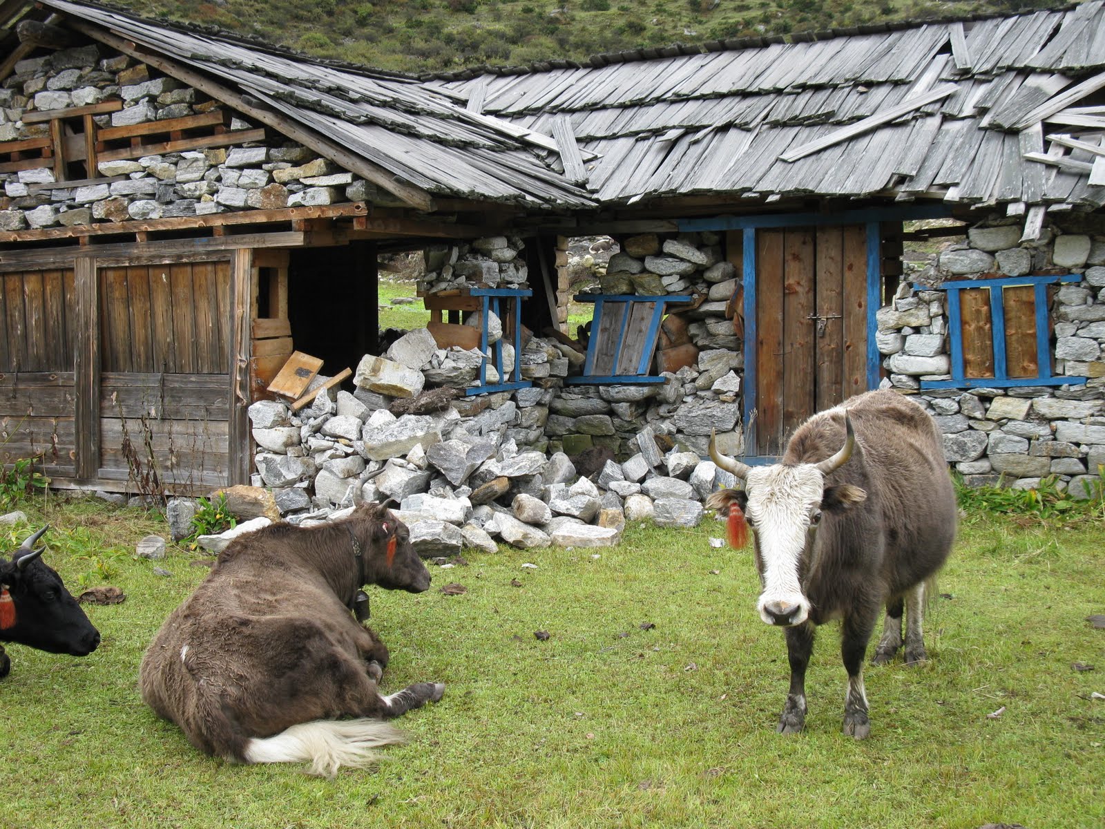
Kambachen, well above the tree line and largely built of stone...devastated...


Amjilosa, a house built for teahouse trekking, unsafe below a vast weedy slope, the consequences of slash and burn agriculture

The long term consequences of the quake for the people of the district around Ghunsa is that they will have to live with ongoing objective danger along their main connection with civilisation the Ghunsa khola (river). Rockfall is a real danger at hundreds of places between Lelep and Lhonak with especially dangerous slips immediately below each of Lhonak, Kambachen, Ghunsa, Foley and Gyabla. It is likely more use will be made of the yak route between Gyabla and Olangchungola and of the eastern route over Mirgin La which is largely free of earthquake damage. Despite this the danger of future casualties in the valley from rockfall are very high.
A few examples of earthquake damage in the Ghunsa Khola: