Showing posts with label photos. Show all posts

Sunday, October 2, 2011

The "Sikkim" Earthquake

Just reading about the earthquake we just escaped. The 2011 "Sikkim" Earthquake was actually centred in Eastern Nepal, right on our tent flaps, as our friend Lara observed. Here is a map from the USGS...

And here is a description of the geology of the quake from Wikipedia:

The magnitude 6.9 (Mw) earthquake occurred inland at 18:10 IST on 18 September 2011, about 68 km (42 mi) northwest of Gangtok, Sikkim at a shallow depth of 19.7 km (12.2 mi).[3] At its location, the continental Indian and Eurasian Plates converge with one another along a tectonic boundary beneath the mountainous region of northeast India near the Nepalese border. Although earthquakes in this region are usually interplate in nature, preliminary data suggests the Sikkim earthquake was triggered by shallow strike-slip faulting from an intraplate source within the over-riding Eurasian Plate. Initial analyses also indicate a complex origin, with the perceived tremor likely being a result of two separate events occurring close together in time at similar focal depths.[1] Located at a shallow depth beneath the surface, the earhttp://www.blogger.com/img/blank.gifthquake caused strong shaking in many areas adjacent to its epicenter reportedly lasting 30–40 seconds.[10][non-primary source needed] The strongest shaking occurred to the west in Gangtok and further south in Siliguri, although similar ground motions registering at MM VI (strong) on the Mercalli scale were recorded in many smaller towns such as Mangan across elevated regions. Lighter tremors (MM IV–III) spread southward through populous regions, with these motions reported in the Patna capital of Bihar and as far southwest as Bihar Sharif.[2] In all, the earthquake was felt in Nepal, India, Bhutan, Bangladesh and China. Tremors were felt in Assam, Meghalaya, Tripura, parts of West Bengal, Bihar, Jharkhand, Uttar Pradesh, Rajasthan, Chandigarh and Delhi states of India.[11] In Tibet, the earthquake was felt in Shigatse and Lhasa.[12]

Here is a good blog detailing the earthquake from the Sikkim (Indian)perspective with some great pictures

From the Nepali side what is most remarkable is the fortune of the mountain communities in what was a very strong shake. Firstly the quake occurred at 6.10pm when nearly everyone was inside preparing dinner. Secondly the houses are largely built of timber (and virgin rainforest timber at that). They also have a rectangular interlocking design which seems very earthquake proof. In the limited places where this design was not followed or these materials were not available there was serious damage. It is also clear that the communities have a recognition of the dangers of rockfalls (and presumably avalanches) and older villages are sited in safe places (this may not be the case for newer houses, eg those developed as trekking tea houses).

A wooden house split open in Ghunsa, perhaps not quite adhering to the traditional design concepts?

Kambachen, well above the tree line and largely built of stone...devastated...
Amjilosa, a house built for teahouse trekking, unsafe below a vast weedy slope, the consequences of slash and burn agriculture

The long term consequences of the quake for the people of the district around Ghunsa is that they will have to live with ongoing objective danger along their main connection with civilisation the Ghunsa khola (river). Rockfall is a real danger at hundreds of places between Lelep and Lhonak with especially dangerous slips immediately below each of Lhonak, Kambachen, Ghunsa, Foley and Gyabla. It is likely more use will be made of the yak route between Gyabla and Olangchungola and of the eastern route over Mirgin La which is largely free of earthquake damage. Despite this the danger of future casualties in the valley from rockfall are very high.

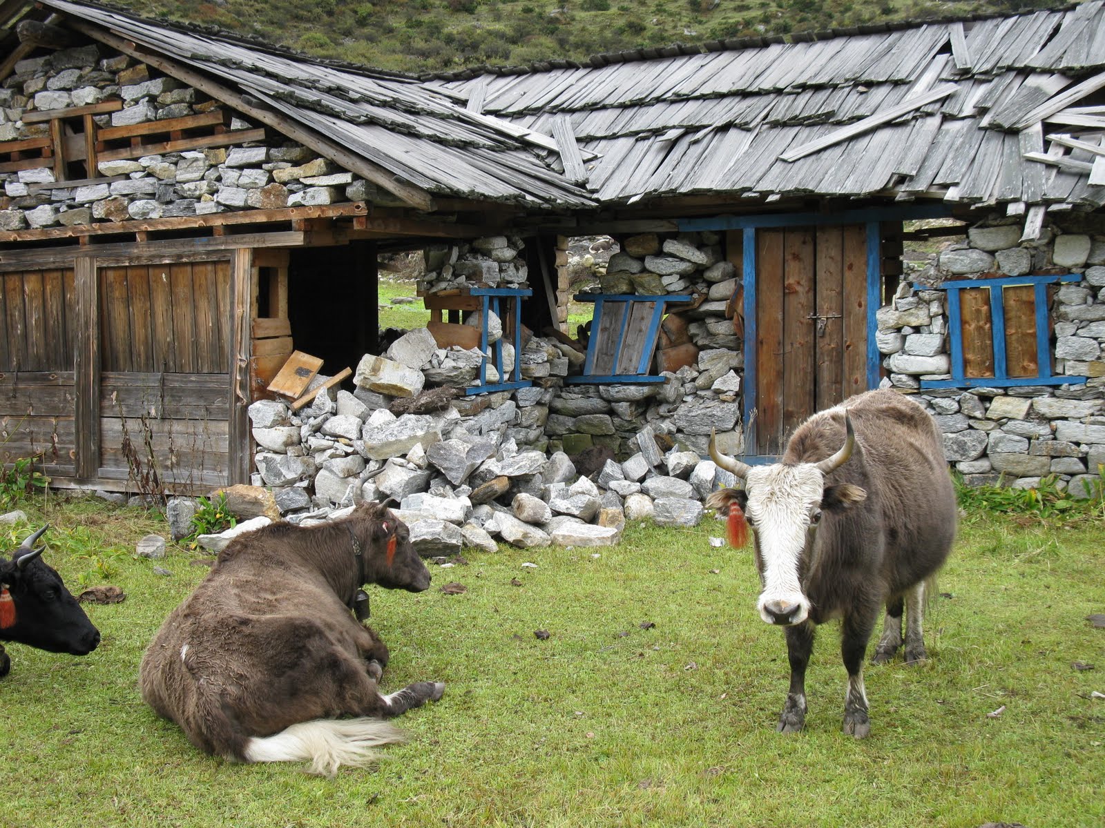
A few examples of earthquake damage in the Ghunsa Khola:

Sunday, August 16, 2009

Aoraki, a few photos of the cloud piercer

The other morning at the end of our holiday down south we drove back from Wanaka to Christchurch via the McKenzie Basin. I spent the first four years of my life in these parts and it has remained very special to me. It is the best drive in the world, over the Lindis, then past Omarama till Aoraki appears at about the same time as you pass the Salmon farm. We struck it lucky this time with sunrise and a few tunes of Dire Straits to add to the atmosphere...

Wednesday, August 12, 2009

Belmont Trig

When our flight was cancelled a few weeks ago, throwing our holiday plans into a kerfuddle, we made the most of our first day by again visiting Belmont Trig, one of the most special places in Wellington. I just love the aesthetics of the place, the trig, the rocks, the swathes of Horopito and the ridges and veins of the land sweeping down to our capital city.

Monday, August 10, 2009

Milton

We found some great light in Milton the other day...

Sunday, June 21, 2009

Whakapapa

We were up at the mountain for the weekend. In the North Island everyone knows where "the mountain" is, Ruapehu. Ruapehu in Maori legend is the broad shouldered partner of Taranaki who dallied with the squat but volatile Tongariro. Now she is the winter playground for thousands of people who flock to the skifields at Turoa and Whakapapa.

For me it was a great place to take a few photos. There are not many places in New Zealand where we humans intrude into the alpine environment as much as at Whakapapa.

For Penny it was a chance to learn some new climbing skills and get to know some more people.

Tuesday, June 16, 2009

Greytone

Its greytone today. Southerlies from Africa, straight down from the Cape of Good Hope (where they are northerlies) over the frozen continent and straight up our spines. The front last night dumped plenty of snow on the Tararuas. I can just see the thrills of the skirt now. Just before the sun shone briefly on the headwaters of the Hutt. A haze of piercing subdued light, which I know from my time in the mountains can give false warmth and optimisim before the greytone returns.

Thursday, June 4, 2009

Aotea

I was lucky last weekend to be able to travel to the South Waikato. The primary purpose was a weekend of orienteering (check out the video in the next post for some footage of this) but equally important was the catching up with. We booked a bach out in wop wops of Aotea Harbour, where none of us had ever been, and used the mornings and evenings to get to know a special little part of New Zealand.

It was late Saturday night by the time we got there, though Rach and Rhys had the fire cranking, Sunday morning I was up early getting some photos around the village with the tide close to low.

The bach looked over the harbour channel towards the North Head of the harbour which is a giant looming sandhill. It reminded me of the Swedish town of Kiruna with its giant pile of tailings, exccept this is 100% natural, indeed declared a scientific reserve for its archaelogical and ecological values. Behind the sand dunes in the far distance is the volcanic cone of Karioi which towers over the famous surfing beach of Raglan.

I wondered about the village appreciating the amazing light and the timelessness of the place. There is change though. On the ridge overlooking the old bach settlement modern houses are springing up in a new subdivision. They loom over the township like alien spacecraft waiting to suck the souls out of the little children that go exploring to far away from town.

Later in the morning Rachel, Rhys, Oscar and I went walking around the headland towards Kawhia. The tide was still low enough for the pram to find hard sand. It was great to feel the sun again after an eternity of terrible weather. Ancient pohutukawas nestled in hollows at the tops of the eroded clay cliffs. And recently one had fallen. Though pohutukawas are amazingly tough colonisers able to re-root where there branches touch the ground I think this one was doomed. Its death and its neighbours life were displayed in symmetry by the horizon of the cliff top.

Rachel, Rhys and I share many values about ecology and it was nice to wonder along discussing some of them. How the patterns in nature repeated in changed scales. You can see a landscape in the erosion of the beachs...or equally in the dissolution of the rock

When you try to comprehend nature as a system, with an ecological view, be it as limited as ours (which was also a topic for discussion), you see cycles, and flow and inter-relationships and you try to percieve of the human impositions on that and the effect they have. I found this abandoned gas canister as a useful metaphor in my thinking...

Its a beuatiful walk with springs welling on the beach (rumours of hot springs further around), and weathered rocks. Further around as we left the shelter of the harbour hills the rugged south head of Kawhia harbour came into view, stretching down to worn stacks on its seaward side. In these rugged oceans the NZ Maui's dolphin struggle for existence, possibly the rarest dolhpin in the world mow that the Chinese river dolphin, the Baiji is extinct.

Oh yeah and driving out of Aotea I saw a bittern...how cool is that! In its alarmed pose on the side of the road, beak thrusted directly up revealing its striped belly used for camoflague in the reeds. Whenever I think of Bitterns I always think of the classic New Zealand childrens book "Bidibidi". Bitterns, sheep, dogs, barb wire, ghosts and a man with a rainbow coat...but anyway...

Wednesday, May 6, 2009

A few more TWALK photos...

Too good to keep to myself....

Give me back my gun...god damn you, you filthy ape!

Find yourself a couple of suckers

Self Portrait: The Twalker as a young ape