Showing posts with label ghunsa. Show all posts

Sunday, October 2, 2011

The "Sikkim" Earthquake

Just reading about the earthquake we just escaped. The 2011 "Sikkim" Earthquake was actually centred in Eastern Nepal, right on our tent flaps, as our friend Lara observed. Here is a map from the USGS...

And here is a description of the geology of the quake from Wikipedia:

The magnitude 6.9 (Mw) earthquake occurred inland at 18:10 IST on 18 September 2011, about 68 km (42 mi) northwest of Gangtok, Sikkim at a shallow depth of 19.7 km (12.2 mi).[3] At its location, the continental Indian and Eurasian Plates converge with one another along a tectonic boundary beneath the mountainous region of northeast India near the Nepalese border. Although earthquakes in this region are usually interplate in nature, preliminary data suggests the Sikkim earthquake was triggered by shallow strike-slip faulting from an intraplate source within the over-riding Eurasian Plate. Initial analyses also indicate a complex origin, with the perceived tremor likely being a result of two separate events occurring close together in time at similar focal depths.[1] Located at a shallow depth beneath the surface, the earhttp://www.blogger.com/img/blank.gifthquake caused strong shaking in many areas adjacent to its epicenter reportedly lasting 30–40 seconds.[10][non-primary source needed] The strongest shaking occurred to the west in Gangtok and further south in Siliguri, although similar ground motions registering at MM VI (strong) on the Mercalli scale were recorded in many smaller towns such as Mangan across elevated regions. Lighter tremors (MM IV–III) spread southward through populous regions, with these motions reported in the Patna capital of Bihar and as far southwest as Bihar Sharif.[2] In all, the earthquake was felt in Nepal, India, Bhutan, Bangladesh and China. Tremors were felt in Assam, Meghalaya, Tripura, parts of West Bengal, Bihar, Jharkhand, Uttar Pradesh, Rajasthan, Chandigarh and Delhi states of India.[11] In Tibet, the earthquake was felt in Shigatse and Lhasa.[12]

Here is a good blog detailing the earthquake from the Sikkim (Indian)perspective with some great pictures

From the Nepali side what is most remarkable is the fortune of the mountain communities in what was a very strong shake. Firstly the quake occurred at 6.10pm when nearly everyone was inside preparing dinner. Secondly the houses are largely built of timber (and virgin rainforest timber at that). They also have a rectangular interlocking design which seems very earthquake proof. In the limited places where this design was not followed or these materials were not available there was serious damage. It is also clear that the communities have a recognition of the dangers of rockfalls (and presumably avalanches) and older villages are sited in safe places (this may not be the case for newer houses, eg those developed as trekking tea houses).

A wooden house split open in Ghunsa, perhaps not quite adhering to the traditional design concepts?

Kambachen, well above the tree line and largely built of stone...devastated...
Amjilosa, a house built for teahouse trekking, unsafe below a vast weedy slope, the consequences of slash and burn agriculture

The long term consequences of the quake for the people of the district around Ghunsa is that they will have to live with ongoing objective danger along their main connection with civilisation the Ghunsa khola (river). Rockfall is a real danger at hundreds of places between Lelep and Lhonak with especially dangerous slips immediately below each of Lhonak, Kambachen, Ghunsa, Foley and Gyabla. It is likely more use will be made of the yak route between Gyabla and Olangchungola and of the eastern route over Mirgin La which is largely free of earthquake damage. Despite this the danger of future casualties in the valley from rockfall are very high.

A few examples of earthquake damage in the Ghunsa Khola:

Thursday, September 29, 2011

Ghunsa

So we had arrived in Ghunsa, somewhat shaken and nerves a little frayed. As we inspected the school and health post buildings (which had come through ok) we heard and saw across the valley another massive rock fall above the Foley to Ghunsa track. Hurtling boulders, trees snapped like matchsticks, ringing silence. Ghunsa largely avoided too much earthquake damage, some non structural stone walls fell down as did a couple of wooden houses that strayed from the time honoured rectangular design.

Ghunsa with waterfalls behind

Minor damage to the health post - but building badly shaken up

Fresh slip and rockfall in progress!
 
In Ghunsa there was finally a working phone, though only for several hours a day (the problem with solar in the monsoon) and villagers from around the place were queueing to check on family in the wider district. We got a quick message through to the trekking agency which we hoped would be forwarded through our families to let them know we are ok. We debated whether the earthquake would have made the NZ news and decided that it was unlikely during the excitement of the Rugby World Cup.

Not sure what Penny was thinking aboutt
 Penny then proceeded to get stuck into teaching the healthcare worker Tenzin and midwife Lamu some new skills.Tenzin had previously learnt how to put casts on fractures and we managed to put this to the test with a little boy we found in a potato field with a suspected broken foot. His mother had fallen on him during the earthquake, the only quake casualty we found, although we were told there were at least 20 yak deaths up the valley.
Penny might write about the rest of her teaching sometime, but from what I gathered it was focused on the childbirth and early childhood areas. She found a willing audience as a village women had died of complications during the past year (this after the previous KSP team were assured this never happened ). The baby survived 6 months feed largely on chang.

Potato Field Medicine

Tenzin and family at the cooking fire
 While Penny was teaching GB and I amused ourselves with a couple of daytrips. The first was to Dudh Pokhari (a lake) east of Ghunsa. An easy trail (hang a left where the water race drops into the hydro scheme pipe) leads up valley following old lateral moraines  for about 3 hours to the lower of the lakes shown on the map. As it was misty the highlight was probably the tea stop in the Yak herders hut. Like many in the valley this family lived a simple life but were doing ok for themselves. They made cheese and yak butter to sell in Taplejung and had sufficent money to educate their children. Two of their sons were trainee monks down in Dharamsala. We found plenty of other people who had studied in Kathmandu or India.

Dudh Pokhari
 The second day trip was more ambitious, an attempt to shortcut west to the Nango La, the pass between Foley and Olangchungola. We left early and headed up to a lookout point decorated with prayer flags. It was a clearish morning and we could even see some parts of mountains (in these mists lie 7000 metre monsters). We kept on following our noses upwards past a couple of pretty lakes. At this stage I took my eye off the ball a little and climbed a small peak (5267) which only served to freak GB out and prevent further exploration of more likely routes. This chunk of mountain is definitely worth a look and is free of rockfall. The views on a clear day would be amazing, unfortunately for us they quickly deteriorated into thick mist. Other highlights though before I forget were the musk deer, blue sheep and various quail like birds, pretty cool to see some wildlife.

Himalayan Herbfields


Towards the end of our stay in Ghunsa we thought we would head up valley to possibly reach the north base camp for Kanchenjunga (the 3rd highest mountain in the world). Penny was able to come too as Tenzin was intending to be out of town for a couple of days. In the event we only got as far as Kambachen, half a day up valley, before we heard that a missing bridge was going to prevent us going much further. The trail to Kambachen was easy apart from a very nasty slip on the true right opposite the terminal moraine of the Jannu glacier. This slip which starts 1000 meters or so up comes down in three chutes, a triple barrelled shotgun. Kambachen itself has been devastated by the earthquake, of twenty dwellings there was only one I  would have slept in.

Sign pointing to broken bridge

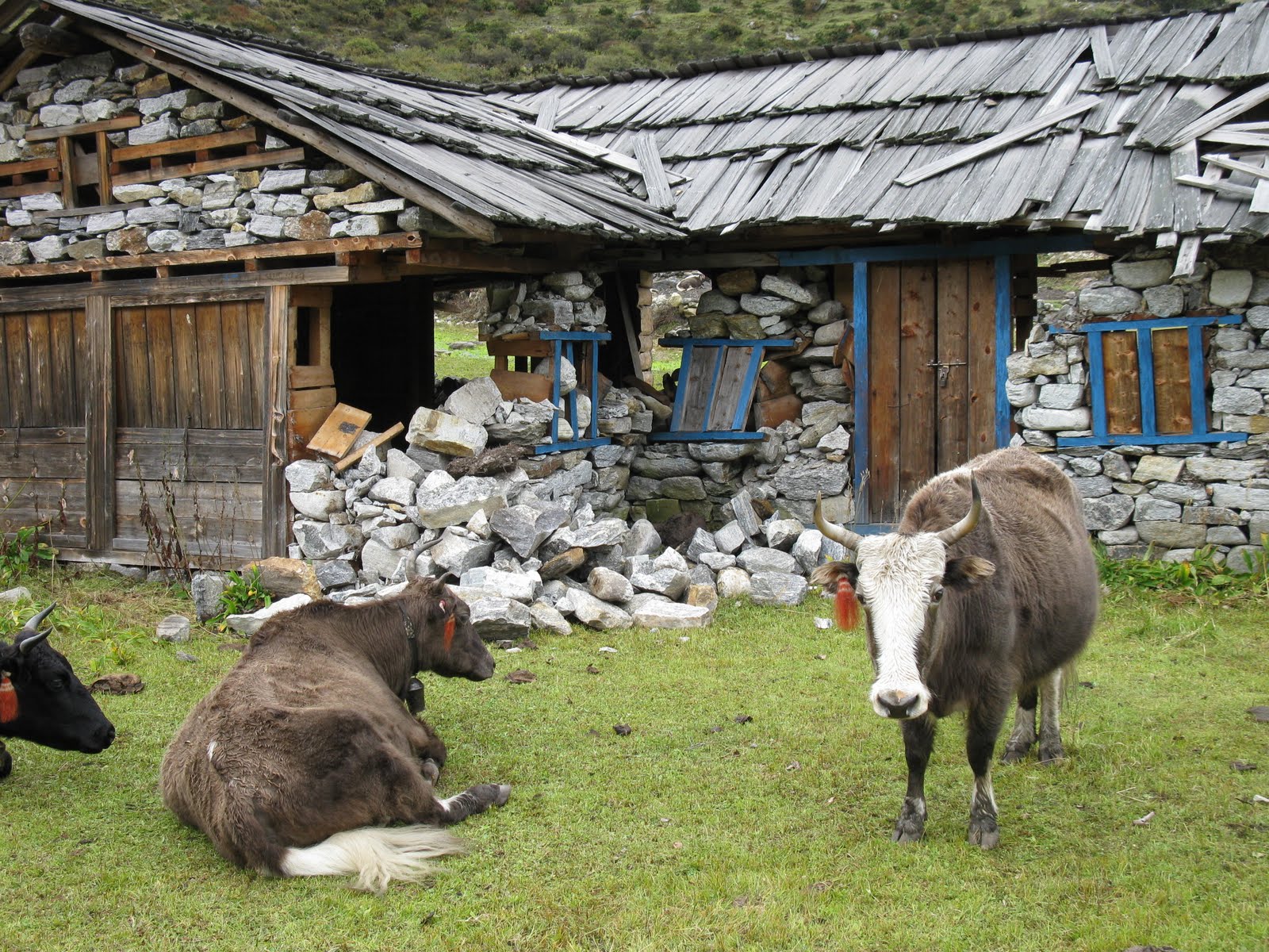
Don't build your house in a yak field

 We stayed in Kambachen for an afternoon and morning hoping to get a glimpse of the "Wall of Shadows", the famous north face of Jannu which rises another few thousand metres up behind the bitter chilly mists of Kambachen. No luck there but our stay wasn't all bad, we had good company including the yak herders son back from study in Bangalore for the Desai festival and most surprisingly great food. The Dahl Baaht was embellished by yak curd (yoghurt) and a water cress like vegetable, yummy, while the milk tea was the hottest sweetest creamiest concoction you could imagine ... like it had just been churned by a practised yak herder in a small hut high in the Himalayas!

Making butter

Khe Sahn with Blue Sheep horns

GB eyes up the bad slip

 So that's about that, tune in next time for the return journey. Penny, GB and Jamie traverse the Mirgin La in sleet, have a clear day at Kanchenjunga South base camp and make it safely back to Taplejung (hopefully).